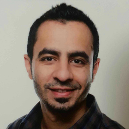
Rashid Javed
Student, Geomatics Engineering, University of Stuttgart
Grieshiem, Deutschland
Werdegang
Berufserfahrung von Rashid Javed
Bis heute 6 Jahre und 9 Monate, seit Okt. 2017
Navigation Information Analyst
Jeppesen GmbH - A Boeing Company
4 Monate, Dez. 2016 - März 2017
GPS Data Surveyor
INRIX
Researching and navigating through websites for public parking information. • Adding newly discovered and updating pre-existing parking lots and garages in map.
2 Jahre und 4 Monate, Sep. 2013 - Dez. 2015
Mitarbeiter
Rhenus logistik
1 Jahr und 5 Monate, März 2012 - Juli 2013
Research Assistant
HfT Stuttgart
Testing and Implementation of differrent Geostatistical Interpolation Software including Surfer, R and Matlab for potential Needs of Students in Master Course Photogrammetry and Geoinformatics. Developing Tutorials and Exercises for Students Development of Web Processing Service using Java Programming Conducting Labs and Exercises For Students Studying Research papers in the field of geostatistics and giving condensed summaries about them.
2 Jahre und 1 Monat, Sep. 2008 - Sep. 2010
RS/GIS Lectuer
Universität Punjab Lahore ,Pakistan
Teaching Remote Sensing, GIS and Image ProcessinG to Master students at University of the Punjab Lahore Pakistan Conducting Workshops and Short Courses on Arc GIS, Erdas Imagine and GPS.
1 Jahr und 1 Monat, Jan. 2009 - Jan. 2010
RS/GIS Analyst
Geo Research Lahore Pakistan
• Use of landsat ETM+ data for landcover/landuse and infrastructure mapping Geological Mapping of Dalana area using Spot Data Feasibility study and Desing of new barrage with storage and power at khanki in Pakistan Feasibility Study of enhancing the capacity of Charrar drain of rain water ring road Lahore, Pakistan
Ausbildung von Rashid Javed
Bis heute 10 Jahre und 9 Monate, seit Okt. 2013
Geomatics Engineering
University of Stuttgart
Geo informatics, Thematic Cartography, Remote Sensing, Map Projections & Geodetic Coordinate Systems, Signal Processing,Geographic information System
2 Jahre und 1 Monat, Sep. 2011 - Sep. 2013
Photogrammetry and Geoinformatics
Hochschule fur Technik Stuttgart(HFT)
Geographical Information System(GIS), Remote Sensing, Photogrammetry,Geo statistics and surface modeling. Planing Organization and Management
Sprachen
Englisch
Muttersprache
Deutsch
Fließend
Arabisch
Grundlagen
